Today’s adventure took us from Hofn to Eglisstadir (I will be adding maps to our blog moving forward to show exactly in the map where are all these stops).
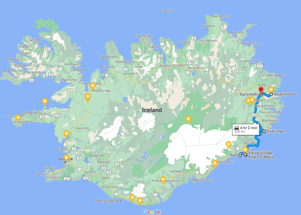
We jumped in the car led by our amazing driver Dan, and started our drive to the Vestrahorn, a mountain in south-east Iceland, noted for its two distinctive peaks and proximity to the Jökulsárlón glacier lagoon and East Fjords.

Unlike most of the mountains in Iceland, it is made out of iron- and magnesium-rich gabbro rock, which leads to its dark and jagged appearance.

Standing separate from the mountains of the nearby Vatnajökull National Park, Vestrahorn is an impressive 454 metres (1,490 feet) tall. It faces out to the sea on its southern side and is surrounded by a sandy coastline that is often home to seals.

Like most stretches of beach in Iceland, the sands here are black due to the island’s volcanism.

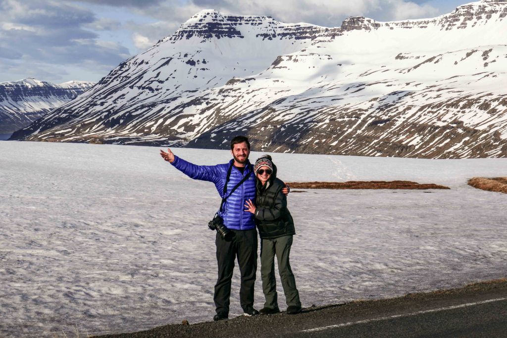
Here is Eitan taking photos while his assistant Sarah keeps him company.

We continued our drive towards the Viking Village, but stopped for a few minutes on the side of the road to say hi to the Icelandic horses.
The very first members of the breed arrived aboard the Viking ships of Norse settlers sometime between 860 and 935 AD. Although sources don’t agree on the breed’s exact ancestry, interestingly enough, many of its characteristics can be related to the mere circumstances of this transportation.

Some claim that the animals were chosen because of their short but sturdy stature, which made them ideal for overseas traveling.
Since then, selective breeding has made the Icelandic horse what it is today. It has also changed and adapted to its surroundings, seasonally sporting a thick winter coat which it then sheds come springtime.

In 982 AD, the Icelandic parliament Alþingi passed laws that prohibited any importation of other horse breeds into the country, meaning that for over a thousand years, the breed has been kept in complete isolation within the island.
Because these creatures have never had any predators in their natural environment, they are not easily spooked, making them very approachable and friendly.

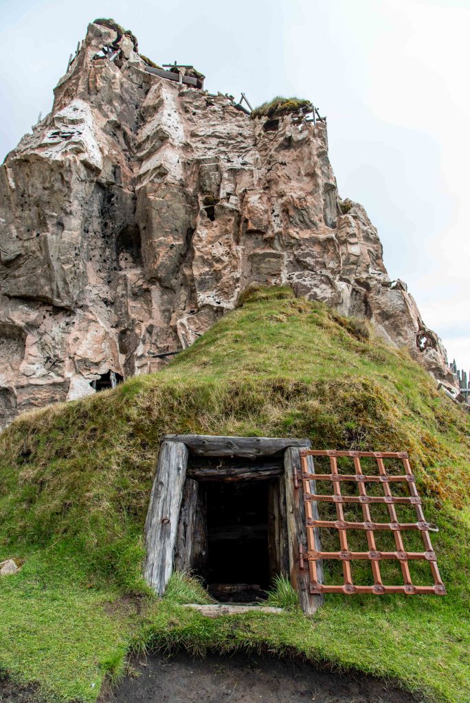
We arrived at the Viking Village. Of course, Vikings don’t exist anymore, so this is purely a movie set that has been kept alive for tourists to experience what it was to live in these type of settlements.

It takes a short walk from the parking lot to get to the village.
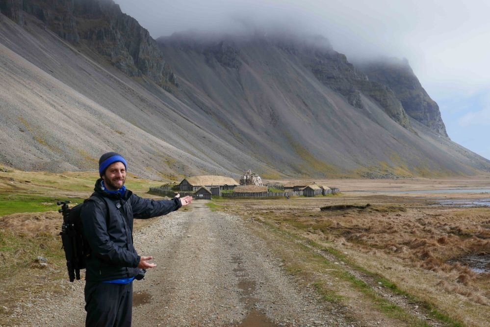
The village is a replica of an authentic Viking village, created as a movie set for a Universal Studios production. However, the show scrapped it as a filming location for budgetary reasons. Since then, the area has been open for curious visitors to explore at their leisure.

In 2018, the same movie company acquired the rights to produce Vikings, a movie about early Vikings and Icelandic adventures. The film used the village as one of its sets. More recently, Netflix used the set to film “The Witcher”.

This East Iceland attraction features wooden structures with grass roofs, much like the traditional Icelandic homes called turf houses. These houses have intricately carved door frames with Viking designs and a dungeon set at the base of a constructed boulder.
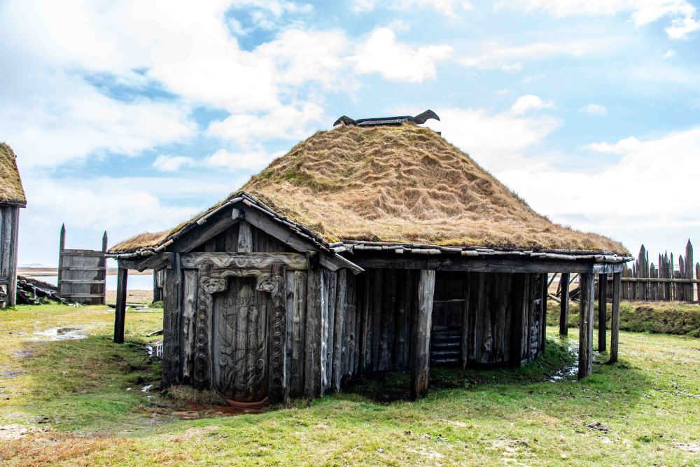
Here you can learn by actually seeing how the Vikings constructed their buildings and feel the effects of what a grass roof does inside of a house.
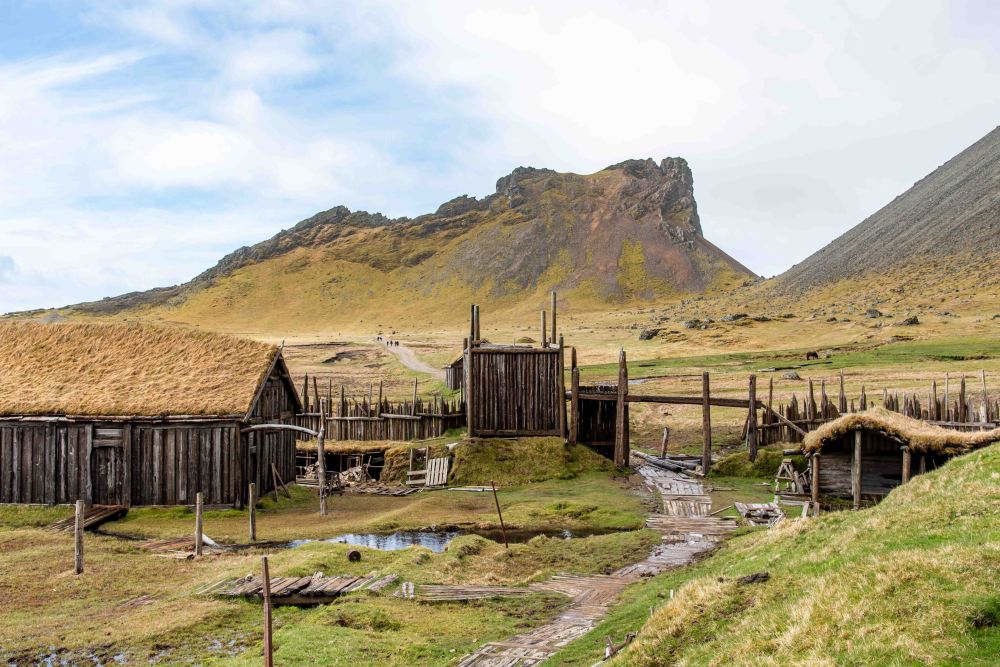
The intricacy and details of the building construction and carvings makes this Icelandic landmark a place for education, while still being a cool movie set.

Is this a dungeon or a storage room?
We continued our drive for a couple more hours passing though very nice scenery.
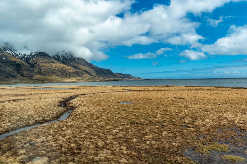

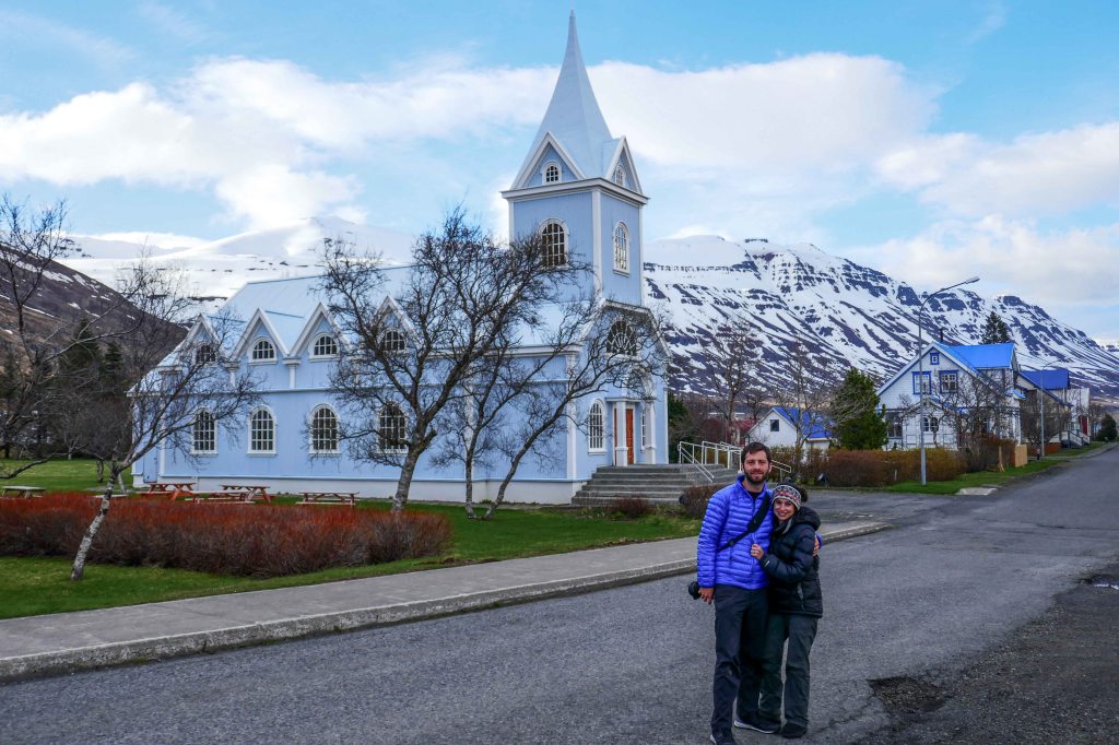
We arrived at the town of Djupivogur. This is a small coastal village located on the Búlandsnes peninsula, nestled by the picturesque fjord of Hamarsfjörður in East Iceland.
The landscape around Djúpivogur is overshadowed by Búlandstindur, a pyramid-shaped basalt mountain peaking at 1069m (covered by the cloud in this photo). The mountain is known across Iceland for its staggering, almost sculpted beauty. According to local folklore, the mountain is able to grant wishes during the summer solstice and is an ‘energy centre’ for the entire country.

The town has an approximate population of 400 people. Fishing has been the primary engine for Djúpivogur’s economy for centuries. In recent times, the tourism industry has blossomed and a hotel, restaurants, cafés, a campground and shops can all be found in and around the town.

Djúpivogur was a trading centre as far back as 1589, meaning over four centuries of commerce in the region. But even after four centuries of trade, the only food we could find at reasonable prices was soup.
As you can see, what was also remarkable in Djúpivogur was that the sun came out!

And then we visited the rock and geode shop/exhibit. I believe every kid has gone through a rock-collecting phase in their lives, so it was nice to see this place, since some members of our party are still in that phase.

We walked a little more in the cute town before heading out to Egilsstadir, which is where we would spend the night. But Sarah, Dan and Eitan continued exploring after dropping off the rest of the family in the hotel.

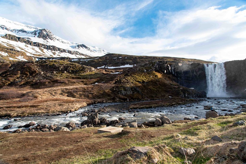
The three of us continued driving to the town of Seydisfjorur, passing by some beautiful waterfalls on the way there. This one was called Gufufoss.
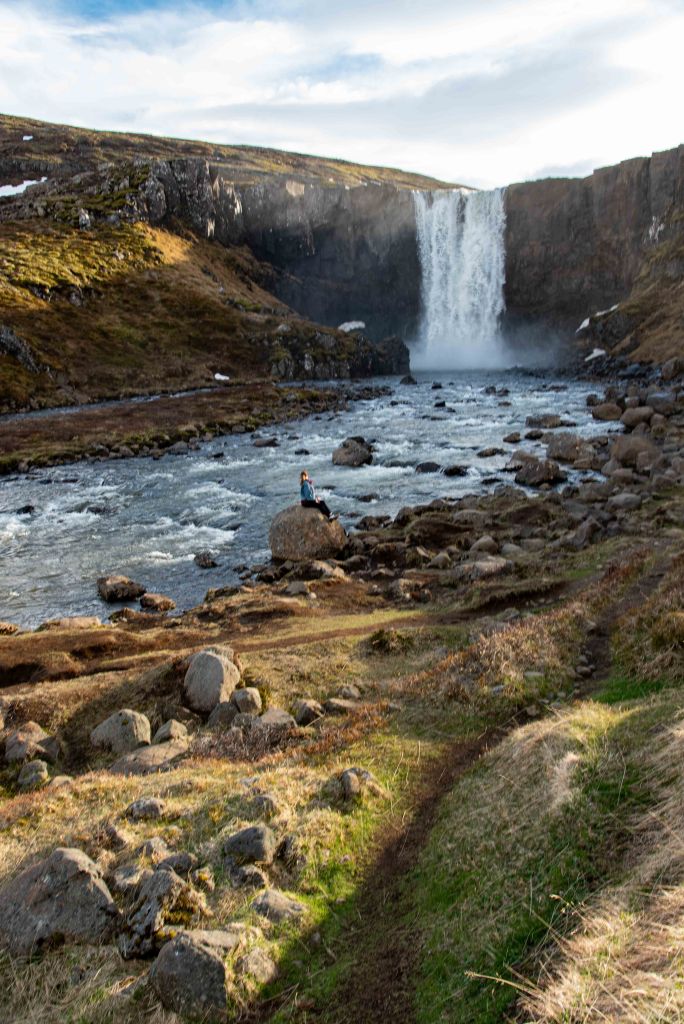
The beautiful Gufufoss is the largest waterfall in Seydisfjordur, an Icelandic fjord. The waterfall is approximately 88 feet (27 meters) tall.
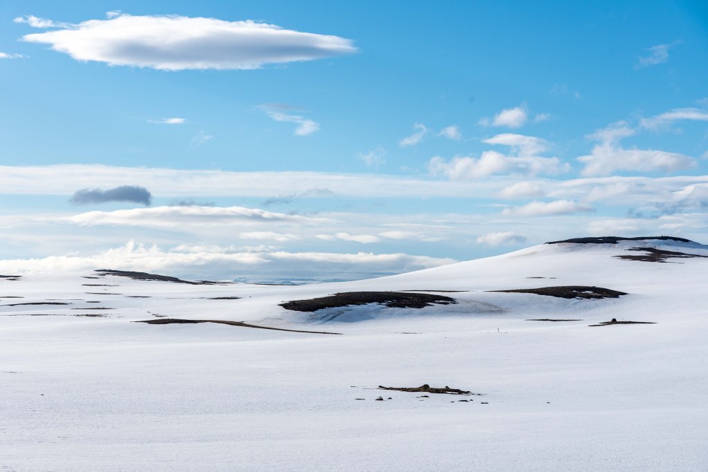
In order to get to the town you need to drive across the top of the Fjord, which is covered in snow.
We stopped on the side of the road to take photos until a local guy yelled at us that we were being stupid tourists for stopping there. So we continued to not upset the local population anymore.

We drove down to the town. Seydisfjörður is a town of around 668 people.

Surrounded by snowcapped mountains and waterfalls, the most prominent natural landmarks are Mt. Bjólfur (1085m) to the west and Strandartindur (1010m) to the east, both of which are a part of Iceland’s seven peak hike.

The settlement of Seyðisfjörður began to develop into a trading centre in 1848 when townspeople found their wealth in “the silver of the sea” – herring. The long protective fjord gave the fishermen in Seyðisfjörður an advantage over their neighbors, leading it to grow into one of the most prosperous towns in East Iceland.

The unique, multi-coloured wooden buildings that make Seyðisfjörður so recognizable were built in this period by Norwegian merchants and whalers. The ruins of their whaling operation at Vestdalseyri can still be visited along the Seyðisfjörður coast.

We walked around for an hour or so but we needed to get back to the family for dinner. Sarah liked how cute this town was.

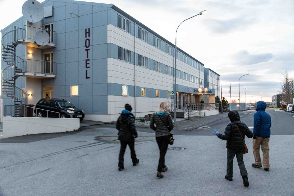
Reunited, we enjoyed a nice dinner (not soup) at the town of Edilsstadir.

Going to sleep, before the next adventurous day, where we would drive to the city of Akureyri in the north coast.
Bonus pic of the day:
In 1949, Iceland was a founding member of NATO and was the sole member that did not have a standing army, joining NATO on the condition that it would not be expected to establish one. However, its strategic geographic position in the Atlantic made it an invaluable member. Here we see an advanced radar station to detect threats early on like ICBM missiles and bombers.


Great pictures. I forgot how spectacular the scenery was in Iceland.
LikeLike